Sky and climate
How to identify cloud types: a guide to watching the sky
Filaments, layers and towers: learning to recognize their shapes is a good way to start reading the landscape.
Start with the shape
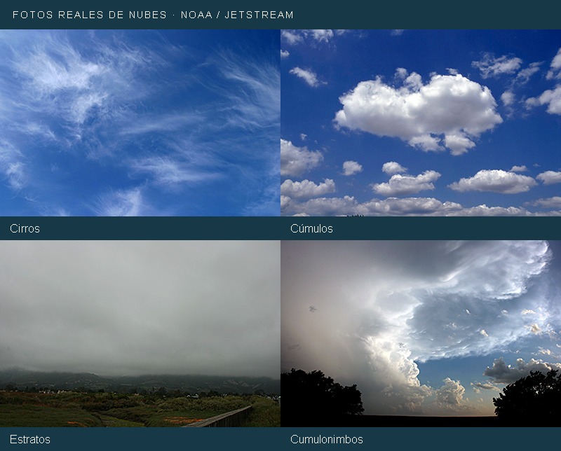
You don't have to memorize all the names in the first place. See if the cloud appears as a filament, an extended layer, or a relief pile. Then see if it appears to be high, in an intermediate area or near the surface.
The World Meteorological Organization recognizes ten main genera. Some names combine roots: cirro is associated with filaments, stratum with layers, cluster with piles and nimbo with precipitation. They are clues to recognize forms, not a complete prediction.
To enlarge: [1] WMO · Classification of clouds.
Four Ways to Begin
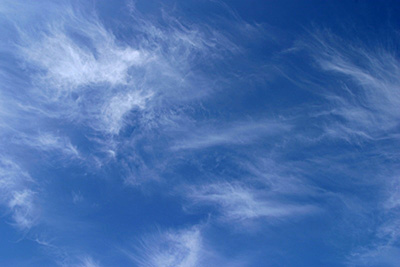
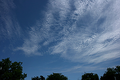
- Cirros: delicate white filaments at high levels; they are composed of ice crystals.
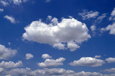
- Cumulus: separate clouds with well-defined contours, such as piles of cotton. Some can grow a lot vertically.
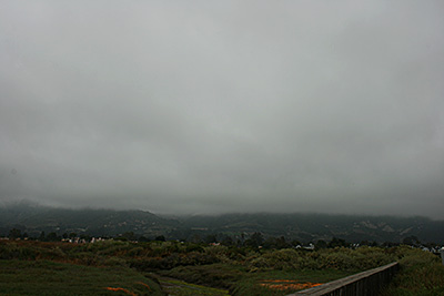
- Strates: a low layer and fairly uniform, usually grey. It may be associated with drizzle.
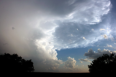
- Cumulonimbos: large towers of vertical development; the upper part can be extended in the form of anvil. They're associated with storms.
The fact that a small cluster seems quiet does not mean that any cloud with that shape will remain the same: it also matters how it evolves.
To enlarge: [3] Met Office · What are clouds.
This is what they look like in the sky: real photos
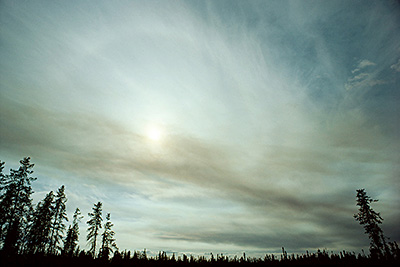
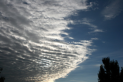
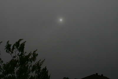
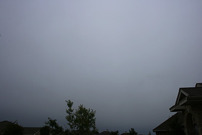
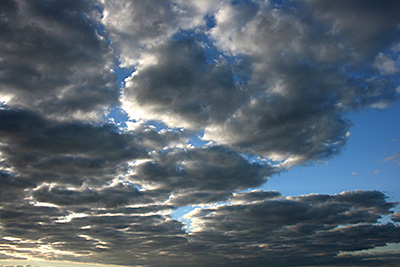
Compare the shapes in these photographs identified by NOAA. Open each image to see full image. A photograph shows an example: the appearance may vary between situations.
The ten genres, at a glance
| Cloud | What to look for |
|---|---|
| Cirrus | Fine fibers or feathers. |
| Cirrocumulus | Small white granules in a high layer. |
| Cirrostratus | High and thin veil; can be accompanied by a halo. |
| Altocumulus | Mass groups rounded up at middle levels. |
| Altostratus | Greyish or extensive bluish layer. |
| Nimbostratus | Thick layer associated with persistent precipitation. |
| Stratocumulus | Low benches with masses or rollers. |
| Stratus | Even-looking low layer. |
| Cumulus | Lots with defined edges. |
| Cumulonimbus | Big tower, sometimes with anvil. |
To enlarge: [2] NOAA · The ten basic types of clouds.
Not all layers are at the same height
The Atlas groups clouds by high, medium and low levels, but their limits depend on latitude. Few clouds cross more than one level: a cumulonimbo can have a low base and spread far above it. So a fixed height, without context, can confuse more than it helps.
To enlarge: [1] WMO · Classification of clouds.
Looking at the sky does not replace a forecast
To see a cloud is to observe a part of the atmosphere at a particular moment. Other observations are also needed to interpret time. Use this guide to learn, not to decide on your own if it is safe to navigate.
One way to practice is to photograph the same sky at the beginning and at the end of a walk: comparing the images allows you to look at changes in shape and distribution that perhaps went unnoticed.
References for further exploration
Sources accessed on November 6, 2026. Publication text by Con Capra Expeditions.